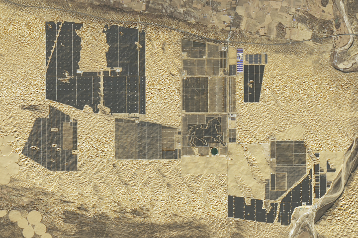
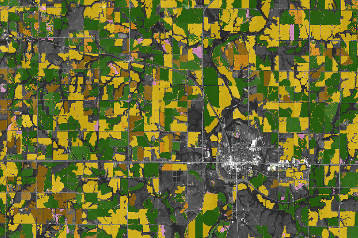
Our platform powers real-time, AI-driven decisions across critical commercial and government sectors, from farm fields to national operations — delivering powerful Earth Intelligence where it matters most.
Government
Leverage satellite insights for planning, infrastructure and resource monitoring, climate action, security, and more.
Business
Use geospatial intelligence to monitor assets, streamline business operations, develop products, or make decisions.
Organization
Harness geospatial analytics for real impact measurement, trend analysis, resilience building, and sustainability.
Research
Integrate spatial data into scientific studies, new policy research, and environmental monitoring and protection.
Government
Leverage satellite imagery for planning, critical resource management, climate, security, policy action, and more.
Business
Use geospatial data to streamline operations, monitor assets, develop products, and strategic decisions.
Organization
Harness geospatial analytics for real impact measurement, trend analysis, and informed sustainable action.
Academia
Apply geospatial data and insights to scientific studies, environmental risks, modeling, and policy research.
Apply geospatial data and insights to scientific studies, environmental risks, modeling, and policy research.
By leveraging satellites and AI, we transform spatial data into actionable insights, enabling smarter decisions on planning, resource allocation, risk management, and supply chains. Spatial intelligence is ubiquitous — unlocking value across industries, from agriculture, climate, to energy, urbanization, mining, and more.